Machu Picchu is one of the most iconic destinations in South America. Located in the Peruvian Andes, this Inca city has captivated travelers from all over the world for decades; however, its history is much older and more complex than many suppose.
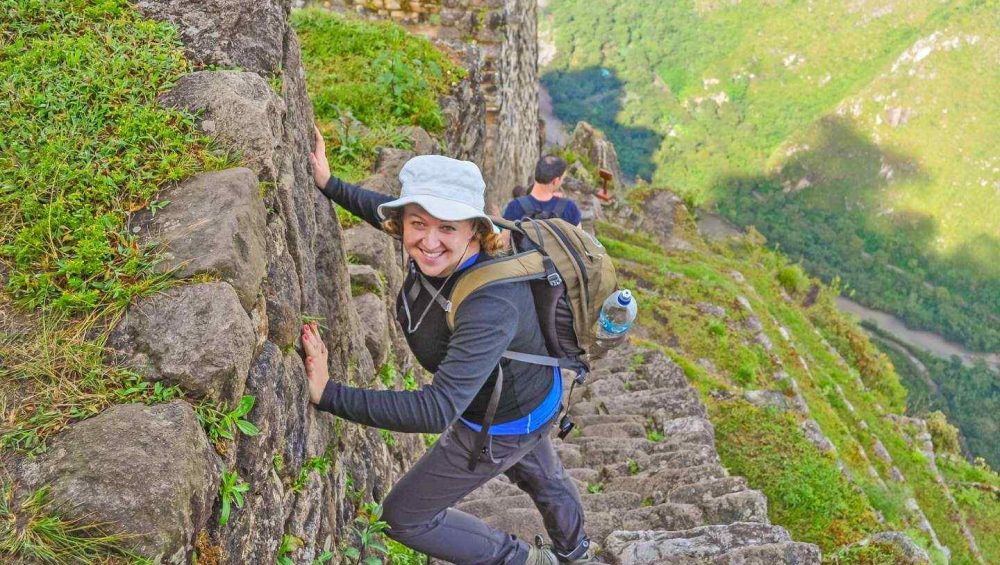
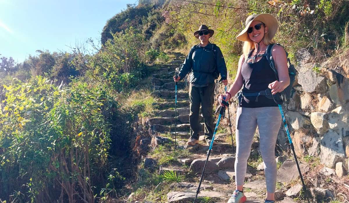
A trip to the iconic Inca city is the high point of any itinerary in Peru. To reach the top of the mountain where the site is located, it is necessary to consider the Andean geography, which transitions from the jungle brow to the ancient stone stairs that wind through the peaks. In this journey, the altitude of the Inca Trail plays a key role in the physical effort required to complete the route.
Today, Machu Picchu is a UNESCO World Heritage site and one of the most visited archaeological sites globally. With thousands of people climbing its walls daily, understanding the elevation of Machu Picchu and the challenges of the mountain climate is essential to enjoy the visit without health problems. In the following sections, we will detail the altitude levels you will face at each stage of the journey.
Altitude of Machu Picchu
The altitude of Machu Picchu Peru is 2,430 meters above sea level. In front of the citadel is the iconic Huayna Picchu, whose peak reaches 2,720 meters. Even though the citadel is located below the critical threshold of 2,500 meters, symptoms of altitude sickness or acute mountain sickness (AMS) can appear in some visitors, especially when climbing towards the surrounding peaks.
It is important to consider that the elevation of Machu Picchu Peru is lower than that of the city of Cusco, so, statistically, few travelers experience significant discomfort inside the historical sanctuary. However, for those arriving from cities at sea level, a previous acclimatization is recommended to avoid any inconvenience during the tour.
Elevation of Machu Picchu
For travelers who use the imperial measurement system, the elevation of Machu Picchu is approximately 7,972 feet (2,430 meters) above sea level. This number places the complex in a jungle brow zone, where the climate is warmer and more humid compared to the high areas of the mountain range.

Altitude of the Machu Picchu Mountains
When planning your visit, it is important to differentiate the height of the citadel from that of its surrounding mountains, as the latter exceed even the altitude of Cusco (3,399 meters) in some climbing sections, demanding a greater physical effort. Below, we present the altitude of each of the Machu Picchu mountains:
-
Huayna Picchu
The altitude of Huayna Picchu, the iconic mountain that appears in the classic photos of the sanctuary, is approximately 2,720 meters (8,924 feet). The climb to the summit is a challenging but rewarding climb, offering unique panoramic views of the citadel and the Andean landscape. The hike is steep and goes along narrow paths and original stone steps, so it is essential to be in good physical shape and not have a fear of heights.
-
Machu Picchu Mountain
The altitude of Mount Machu Picchu (or Machu Picchu Mountain) is approximately 3,082 meters (10,111 feet) above sea level. Unlike Huayna Picchu, this mountain is located at the opposite end of the citadel. Climbing to its top offers the highest and most complete perspective of the entire historical sanctuary and the lush mountainous terrain that surrounds it. It is the preferred option for those looking for a strategic point to appreciate the magnitude of the archaeological site and its natural environment.
The Altitude of the Inca Trail
At 2,430 meters high, Machu Picchu is one of the lowest points of the entire route. In contrast, the altitude of the Inca Trail reaches its maximum level at the Warmihuañusca Pass, also known as the “Dead Woman’s Pass”, at 4,200 meters above sea level.
Most expeditions begin in Cusco, a city located at 3,399 meters. Staying there for a few days before starting the hike is essential for the body to acclimate to the elevation of the Inca Trail. The altitude varies drastically during the journey, and the physical effort is felt with greater intensity in the highest sections.
Details of the 4 Day Inca Trail route
Day 1 (Cusco – KM 82 – Wayllabamba): The first day serves as a first contact with the path. The route is mostly flat with slight climbs, ideal for finishing the body’s adaptation to physical activity at altitude.
- Difficulty level: Easy
- Maximum altitude: 3,000 m
- Minimum altitude: 2,600 m
- Distance covered: 9 km
- Approximate time: 5-6 hours
Day 2 (Wayllabamba – Warmiwañusca Pass – Paccaymayu): This is the most demanding stage due to the climb to the highest point of the route. The physical effort is intense due to the slope and the decrease of oxygen in the environment.
- Difficulty level: Difficult
- Maximum altitude: 4,200 m (Warmiwañusca Pass)
- Minimum altitude: 3,000 m
- Distance covered: 12 km
- Approximate time: 6-7 hours
Day 3 (Paccaymayu – Runkuraqhay Pass – Wiñayhuayna): It is the longest day in distance, but with a lower level of demand than the previous day. You pass through various archaeological sites and start to notice the ecosystem change toward the jungle brow.
- Difficulty level: Moderate
- Maximum altitude: 4,000 m (Runkuraqhay Pass)
- Minimum altitude: 2,650 m
- Distance covered: 16 km
- Approximate time: 8 hours
Day 4 (Wiñayhuayna – Inti Punku – Machu Picchu): The last section is short and mostly downhill. The goal is to arrive early at the Sun Gate (Inti Punku) to have the first panoramic view of the citadel before descending toward the town of Aguas Calientes.
- Difficulty level: Easy
- Maximum altitude: 2,650 m
- Minimum altitude: 2,100 m
- Distance covered: 6 km
- Approximate time: 2 hours
Altitude of the Short Inca Trail
If you do not have time for the 4 day version or could not book your route in time, the Short Inca Trail is an excellent alternative. It consists of a section of the original path that allows you to connect with the citadel in just two days. The hike starts at kilometer 104 of the railway that connects Cusco with Aguas Calientes.
Route: Km 104 – Wiñayhuayna – Inti Punku – Machu Picchu
This route is ideal for those looking for an experience that is less physically demanding but equally rich in archaeology and landscapes. The journey offers a direct transition toward the jungle brow where the sanctuary is located.
- Difficulty level: The first hours present a steady and moderate climb. Later, the trail becomes smoother, although it maintains sections of some technical difficulty due to the narrowness of the path.
- Maximum altitude: 2,650 m (8,694 feet)
- Minimum altitude: 2,400 m (7,874 feet)
- Distance covered: 13 km (8.08 miles)
- Approximate time: 6 – 7 hours
About Altitude Sickness in Machu Picchu
Acute mountain sickness (AMS) happens when the body does not have enough time to adapt to low oxygen levels when climbing quickly. Although the elevation of Machu Picchu is approximately 2,430 meters (7,972 feet), an altitude that is not considered extreme, some visitors may experience mild symptoms during their stay.
It is essential to remember that this condition can affect anyone, regardless of age or physical condition. Individual sensitivity, the speed of the climb, and the time spent at altitude are the main factors that influence the appearance of altitude sickness.
In general, to suffer from altitude sickness, it is necessary to be above 2,500 meters. Therefore, while Machu Picchu is below this point, the Dead Woman’s Pass is high enough to cause altitude sickness symptoms.
Muscle demand depends on the activity level, but the brain needs a large amount of oxygen (15% of the total). If the brain lacks oxygen due to the speed of activity and great effort, it will show the following symptoms:
- Trouble sleeping
- Dizziness
- Fatigue
- Headache
- Loss of appetite
- Nausea or vomiting
- Fast pulse
- Shortness of breath
Prevention and management of Altitude Sickness (AMS)
- To enjoy the experience without health complications, it is essential to follow these recommendations before and during your journey on the Inca Trail:
- Gradual acclimatization: Spend at least 2 days in a high-altitude city, like Cusco, before starting the hike. During the climb, go up gradually and rest when your body needs it.
- Hydration and food: Drink between 3 and 4 liters of liquid per day, prioritizing water. Eat small and frequent meals, high in carbohydrates and low in salt.
- Avoid irritating substances: It is recommended not to consume alcohol or tobacco days before and during the route. Also, avoid using sleeping pills, as they can affect breathing during the night at altitude.
- Physical preparation: Improve your cardiovascular condition in advance so your body processes the limited oxygen better.
- Medical consultation: Talk to your doctor about specific medications that help with acclimatization.
- Listen to your body: Learn to recognize symptoms like headache or nausea. If you feel unwell, you must rest and not continue the climb until you have fully recovered.